Choose by the map.
Hover the cards to light the pin. Tap a pin for the home and its real neighbourhood distances; tap a card to open it.
Linear latitude and longitude projection with streets, beaches and landmarks from OpenStreetMap. Straight-line distances from the neighbourhood point. Pre-launch: each home is a neighbourhood model.
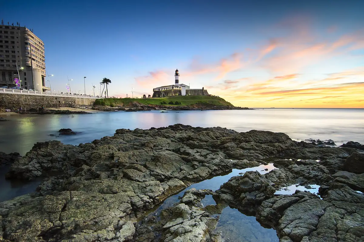
- Porto da Barra beach180 m
- Nearest market180 m
- Nearest pharmacy200 m
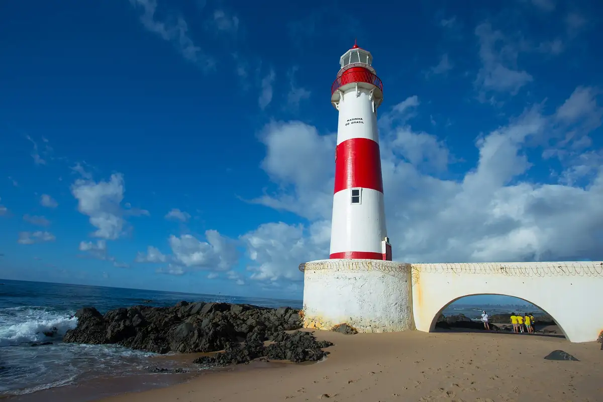
- Barra Lighthouse460 m
Straight-line distances from the neighbourhood point on the map. OpenStreetMap base, 10 Aug 2026.
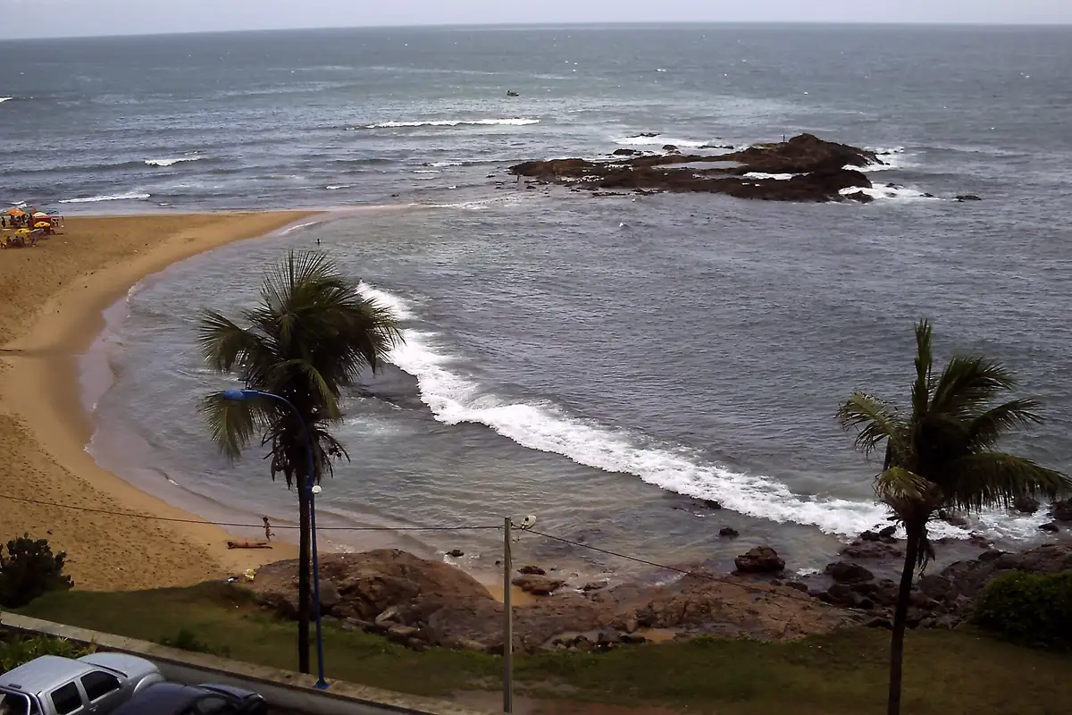
See the home- Ondina beach200 m
- Nearest market300 m
- Nearest pharmacy80 m
- Morro do Cristo1.3 km
Straight-line distances from the neighbourhood point on the map. OpenStreetMap base, 10 Aug 2026.
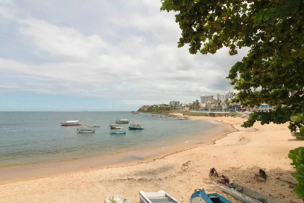
See the home- Santana beach280 m
- Nearest market400 m
- Nearest pharmacy70 m
- House of Yemanjá260 m
Straight-line distances from the neighbourhood point on the map. OpenStreetMap base, 10 Aug 2026.
See the home- Pituba beach540 m
- Nearest market190 m
- Nearest pharmacy200 m
- Nossa Senhora da Luz square380 m
Straight-line distances from the neighbourhood point on the map. OpenStreetMap base, 10 Aug 2026.
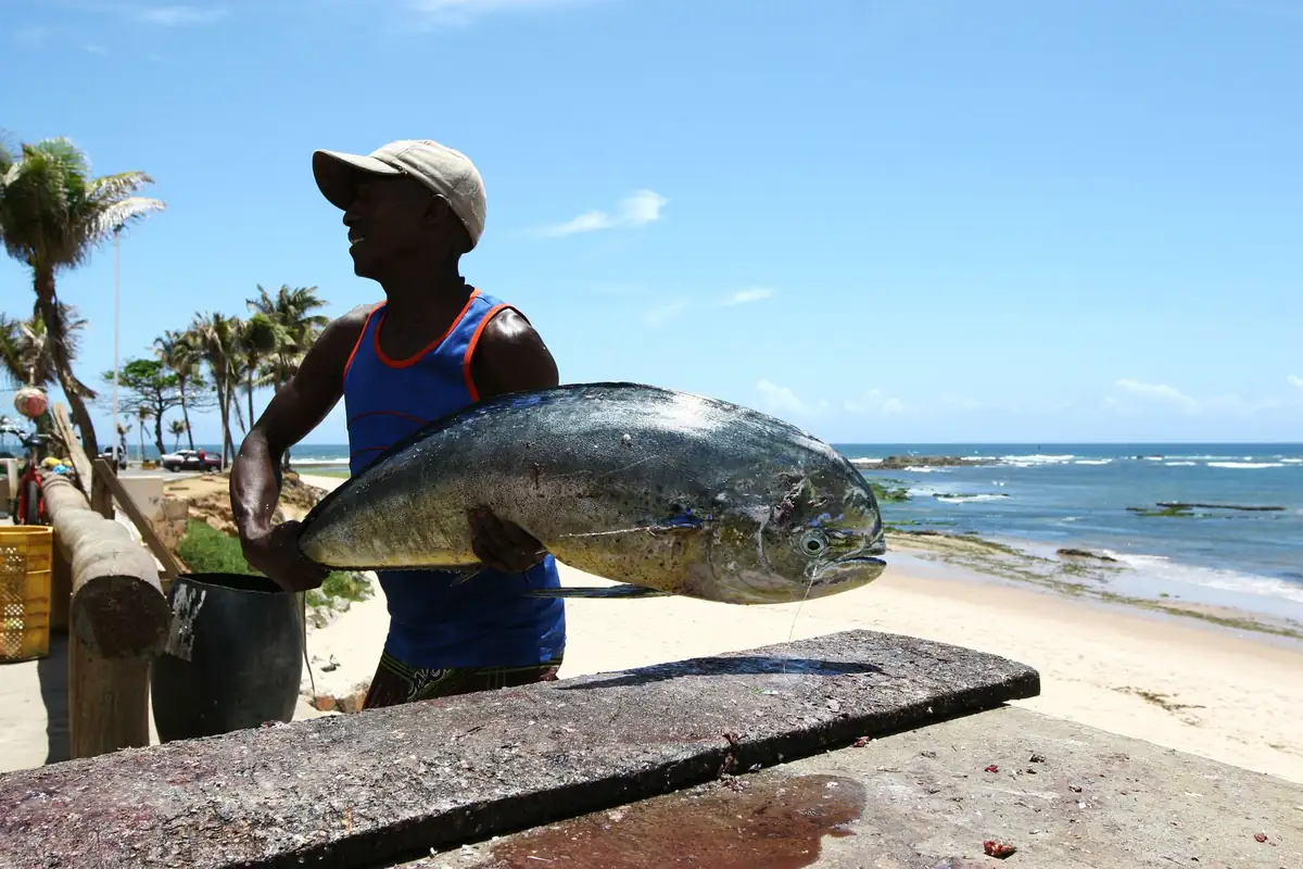
See the home- Itapuã beach390 m
- Nearest market200 m
- Nearest pharmacy330 m
- Itapuã Lighthouse1.4 km
Straight-line distances from the neighbourhood point on the map. OpenStreetMap base, 10 Aug 2026.
See the home- Stella Maris beach440 m
- Nearest market280 m
- Nearest pharmacy360 m
- Abaeté lagoon2.5 km
Straight-line distances from the neighbourhood point on the map. OpenStreetMap base, 10 Aug 2026.
See the home